The Pros and Cons of Different Drone Data Processing Types
- Grant Füellenbach

- Feb 7, 2024
- 3 min read
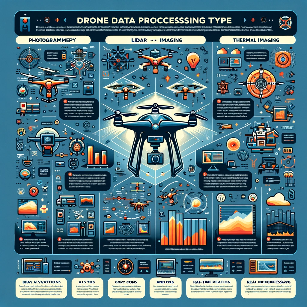
In the rapidly evolving world of drone technology, two methods stand out for their ability to capture and process data from above: LiDAR (Light Detection and Ranging) and photogrammetry. Both technologies have revolutionized fields such as agriculture, surveying, and environmental monitoring, offering unique insights that were previously difficult or impossible to obtain. However, when it comes to choosing between LiDAR and photogrammetry for drone data processing, several factors come into play, including cost, accuracy, and application requirements. In this blog post, we'll delve into the advantages and disadvantages of each method, helping you make an informed decision for your next project.
Lidar and Photogrammetry: A Side-by-Side Comparison
Lidar and Photogrammetry are two leading technologies in drone surveying, each with unique strengths and applications. Lidar, short for Light Detection and Ranging, employs laser light to measure distances and scrutinize the earth's surface. It excels in capturing data in environments where other methods might struggle, such as in cloudy or foggy conditions.
Conversely, Photogrammetry involves measuring from images. It utilizes overlapping images to create accurate spatial models. Photogrammetry is generally more affordable than Lidar and can be conducted with a variety of cameras, making it a more accessible option for many drone service providers.
The primary distinction between Lidar and Photogrammetry lies in their data capture methods. Lidar can penetrate canopy cover and dense vegetation to extract details about the bare earth, while Photogrammetry can only produce results from what the camera can see. This means that Lidar is often the go-to for applications requiring high accuracy and precision, while Photogrammetry is favored for capturing fine details.
LiDAR in Drone Data Processing
LiDAR technology uses laser pulses to measure distances to the Earth's surface, creating highly detailed and accurate 3D models of the terrain. This method is particularly effective in environments with dense vegetation or complex terrain, where precision is paramount.
Pros:
High Accuracy and Detail: LiDAR's ability to penetrate vegetation and capture the ground surface makes it ideal for creating detailed 3D models.
Operational in Various Conditions: It can operate effectively in low light conditions, making it versatile across different environments.
Cons:
High Cost: The technology is expensive, with LiDAR sensors alone costing between $65,000 and $100,000.
Less Portable: The equipment is bulkier compared to photogrammetry setups.
Photogrammetry in Drone Data Processing
Photogrammetry, on the other hand, involves stitching together multiple photographs taken from a drone to create 2D maps or 3D models of a surface. This method is known for its cost-effectiveness and ease of use.
Pros:
Cost-Effectiveness: A high-end photogrammetry system can cost between $20,000 and $30,000, making it more accessible.
Visual Richness: It provides photorealistic outputs, crucial for visual interpretation of terrain or structures.
Flexibility and Ease of Use: Photogrammetry is user-friendly and offers flexibility in data capture.
Cons:
Lower Accuracy: It may not match LiDAR's precision in certain environments.
Environmental Limitations: Effectiveness can be reduced by poor lighting or dense vegetation.
Making the Choice
When deciding between LiDAR and photogrammetry for drone data processing, consider the specific needs of your project. LiDAR offers unparalleled accuracy and detail, making it suitable for projects where precision is critical, such as environmental monitoring or urban planning. However, its high cost and equipment bulk may be prohibitive for smaller projects or those with limited budgets. Photogrammetry, with its cost-effectiveness, visual richness, and ease of use, is an excellent choice for a wide range of applications, including agriculture, real estate, and cultural heritage documentation. While it may not achieve the same level of detail as LiDAR in certain scenarios, its flexibility and affordability make it a valuable tool in the drone operator's toolkit.
In conclusion, both LiDAR and photogrammetry have their place in drone data processing. The choice between them depends on the project's requirements, budget, and desired outcomes. As drone technology continues to advance, the capabilities of both methods are likely to improve, further expanding their potential applications.
Citations
"Understanding the Pros and Cons of LiDAR in Drone Data Processing."
"LiDAR vs. Photogrammetry: A Comparative Analysis."
"The High Cost of LiDAR Technology and Its Impact on Drone Data Processing."
"Operational Advantages of LiDAR in Low Light Conditions."
"The Visual Richness of Photogrammetry and Its Applications in Drone Data Processing."

.png)


Comments